Introduction
Google Maps is a widely known navigational tool used for a variety of activities including daily commutes, travel planning, and discovering new places. As a professional with a background in architecture and interior planning, I understand the importance of designing wheelchair-accessible spaces. In this blog post, I delve deep into analyzing Google Maps and exploring its potential as an assistive technology.
Is Google Maps Designed for Accessibility?
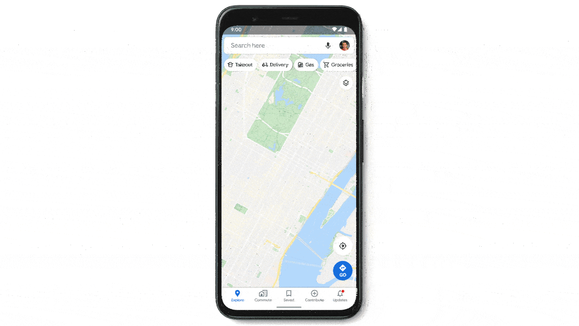
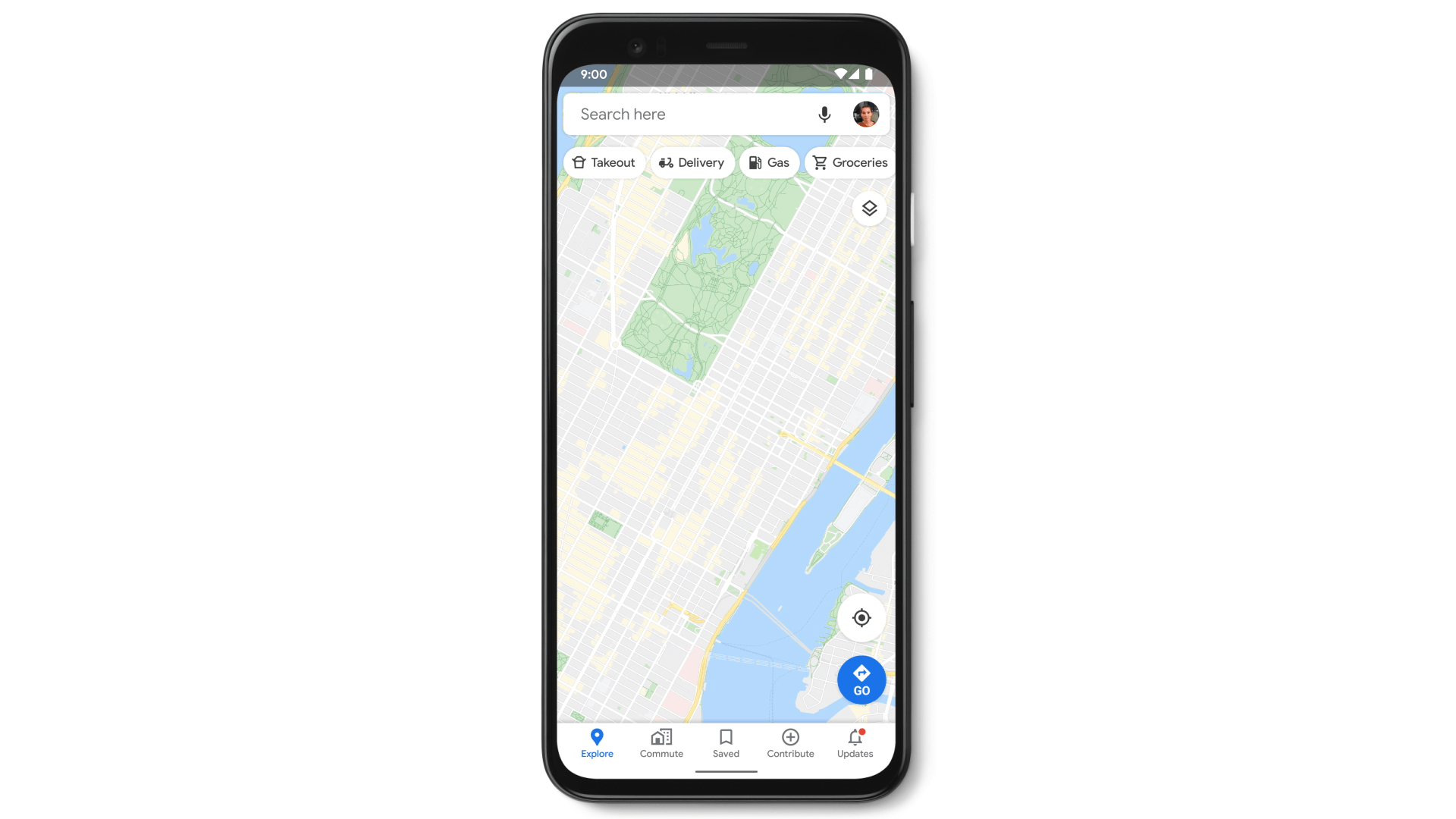
Google Maps is highly utilitarian, acting as a means of navigation while sporting user-friendly navigation, making it desirable and useful for everyday needs. It is also free to use, making it financially affordable. The app is also compatible with a wide range of devices and operating systems, making it inclusive in terms of device compatibility. This ensures that users with different technological preferences can access its features seamlessly.
Accessibility Information:
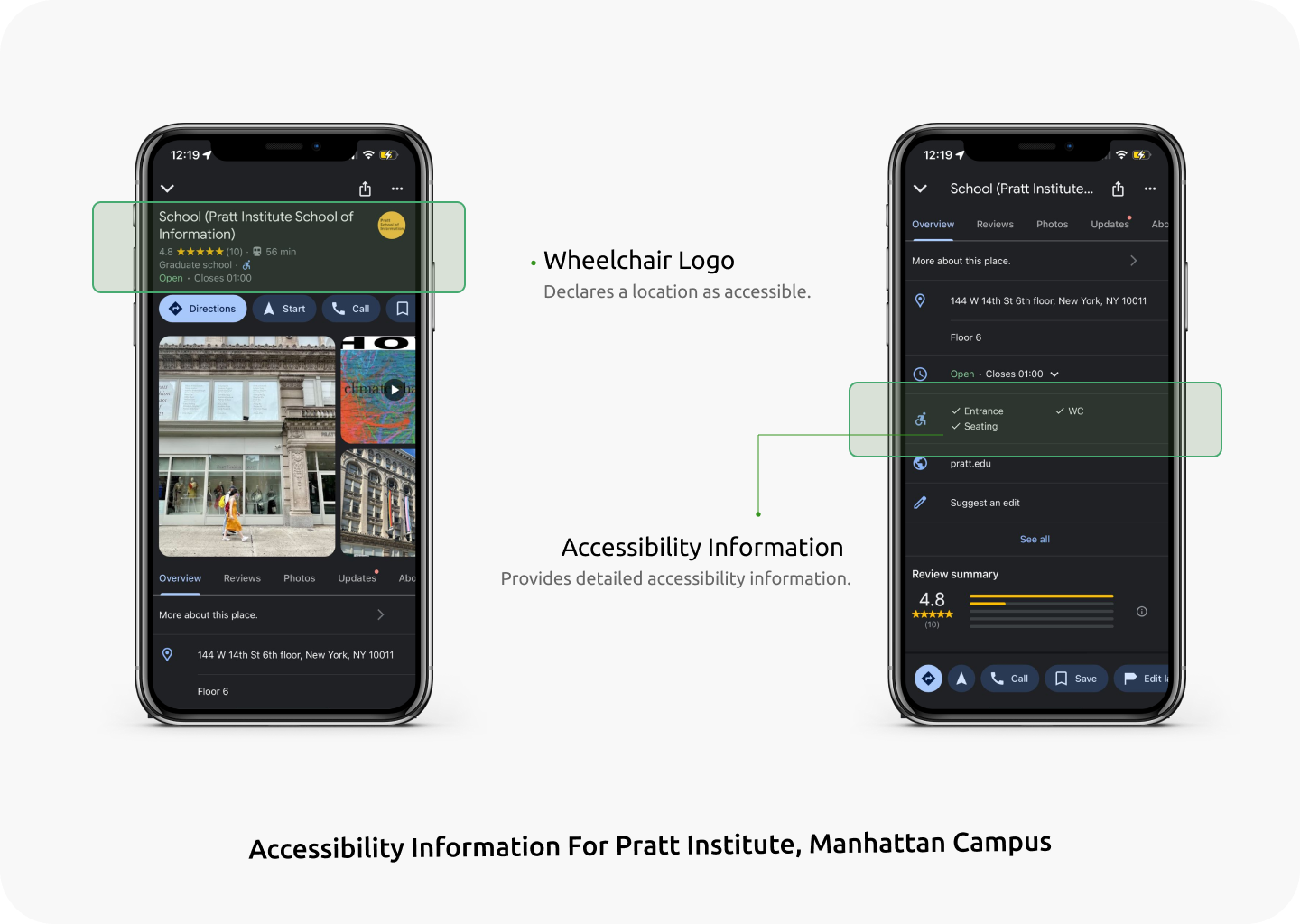
Google Maps provides users with crucial accessibility information, including the presence of ramps, accessible WCs, accessible entrances, and parking. This information will allow users with mobility needs to make informed decisions prior to visiting the location. As a recognition of Global Accessibility Awareness Day back in 2020, Google announced the ‘Accessible Places’ feature as a part of Google Maps. This feature when turned on, provides the users with the accessibility information prominently displayed.
Anyone can provide accessibility information, including users, local guides, and shop owners. Once a place is confirmed as accessible, a wheelchair logo appears right next to the name of the selected place declaring it as accessible! Additionally, it informs users when a location is inaccessible.
Users can access detailed information about the accessibility features of specific locations, empowering them to choose places that align with their mobility requirements.

Wheelchair-Friendly Routes:
It is a fact that Google Maps has become an indispensable tool when it comes to efficient navigation and daily commuting. In cities, public transportation is often the best way to get around, which presents a challenge for people who use wheelchairs or with other mobility needs.
As a solution, Google Maps has an added feature that allows users to choose a ‘Wheelchair Friendly’ route, which provides the users with accessible routes in transit navigation.
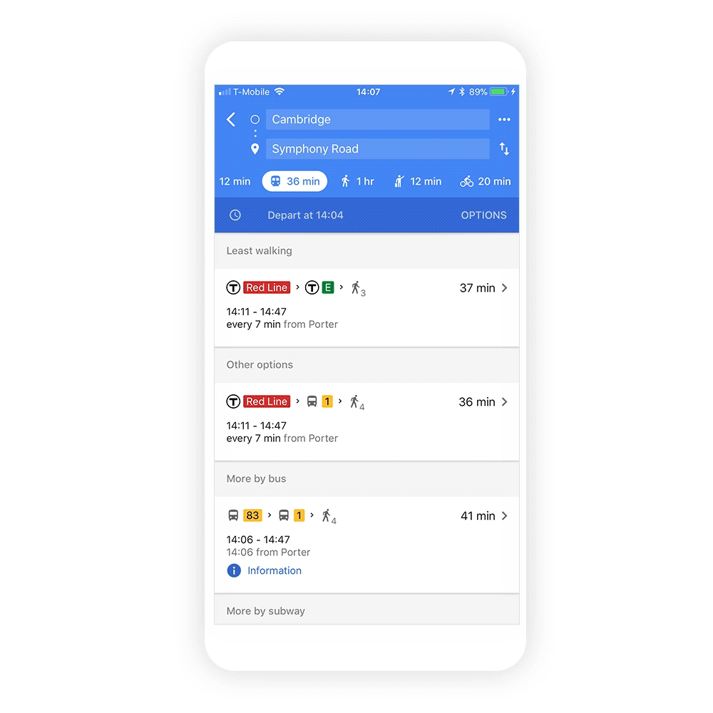
By considering factors such as flat terrain and the presence of ramps, this feature creates optimized routes tailored to the unique mobility needs of individuals using wheelchairs. The ability to navigate urban landscapes confidently empowers wheelchair users, promoting a sense of independence and reducing dependency on external assistance.
Social Model of Disability:
The accessibility features of Google Maps aptly aligns with the social model of disability. It empowers informed decision-making and enhanced planning for users with requirements while visiting a location. It reinforces the fact, that disability is not a personal deficiency but a result of societal barriers. By doing so, it creates an inclusive community where individuals of all abilities can participate in society fully.
Functional-Solutions Model of Disability:
It also falls into the functional solutions model of disability, which focuses on applying innovation to overcome the limitations of disability. Google Maps supports this model, by providing features that allow users to be independent and make informed decisions. This, in turn, creates an impact on designers, both digital and physical to make accessible features and spaces, with emphasis on functionality and user-centered solutions while contributing to an inclusive society.
Conclusion
When I first moved to the US, I struggled with the task of transporting three massive suitcases filled with my belongings via the intricate NY Subways, maneuvering through the complex network of stairs and multiple levels. This experience provided me with firsthand insights into the frustrations experienced by individuals using wheelchairs.
In my analysis, Google Maps comes packed with a variety of accessibility tools and sets a standard for creating technology that serves the diverse needs of its users. To conclude, Google Maps’ accessible features, rooted in the Social Model and Human Rights Model of disability, demonstrate a commitment to creating an inclusive digital navigation experience.
References:
Google. (2017, April 12). Introducing wheelchair-accessible routes and transit navigation. Google Blog. https://blog.google/products/maps/introducing-wheelchair-accessible-routes-transit-navigation/#:~:text=To%20access%20the%20%E2%80%9Cwheelchair%20accessible,as%20a%20new%20route%20type.
Google. (2017, September 26). Wheelchair-accessible places on Google Maps. Google Blog. https://blog.google/products/maps/wheelchair-accessible-places-google-maps/